Erft (Germany)
Authors: Chahinaz Ziani & Boutaina Abbazi
The Erft River Basin is in the southwest of North Rhine-Westphalia (NRW) in Germany (Markert et al., 2020). It drains a total area of 1850 km2. The Erft River originates north of the Eifel mountains near the town of Bad Muenstereifel about 550 meters above sea level, and flows 107 km towards the Rhine River in Neuss (Lehner & Grill, 2013; Markert et al., 2020).
The catchment is known for mining and industrial activities. In fact, the Erft River underwent significant modifications to dry adjacent wetlands and manage water from lignite mining, leading to its decoupling from the floodplain (Erftverband, 2024b). It is currently categorized as “significantly changed” based on the classification (BMUV, 2020). With lignite mining set to cease by 2030, the river's flow will decrease to a third of its current level, necessitating a morphological redesign to accommodate future drainage conditions (MULNV NRW et al., 2021).
Flood risk is already a significant concern within the Erft catchment (Struck, 2023). For instance, on July 15th, 2021, extreme rainfall caused severe flooding and erosion in a gravel pit mine along the Erft River near Erftstadt-Blessem, located in the Rhenish lignite mining region. The event was triggered by persistent heavy rainfall between July 12 and 15 due to a slow-moving low-pressure system and orographic effects in the Eifel Mountains. Rainfall in the Erft catchment exceeded 120 mm within two days, leading to an extraordinary increase in river discharge from an average of 2.47 m³/s to an estimated peak of 520 m³/s (Lehmkuhl & Stauch, 2023).
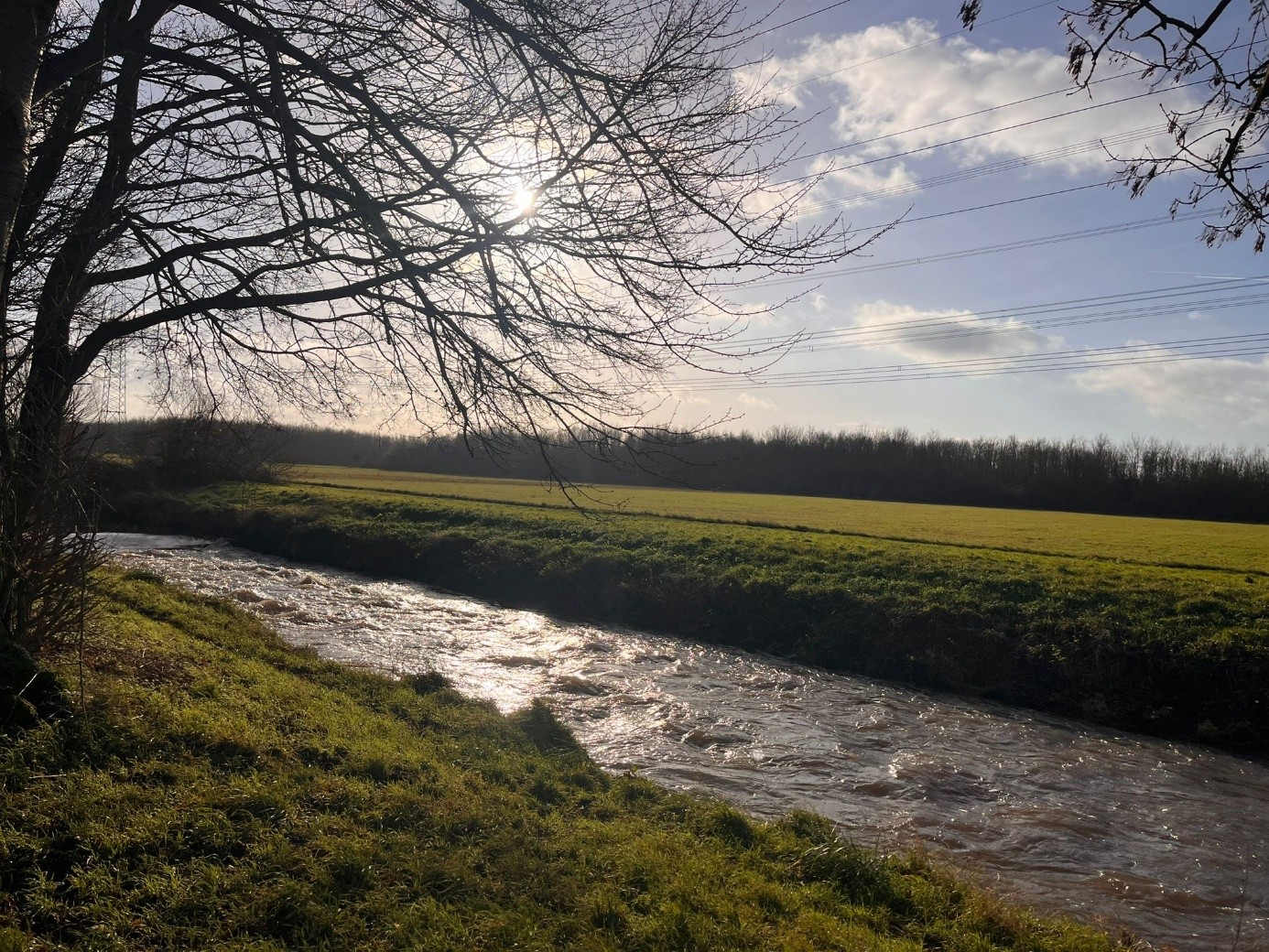
Figure 1: Heavily Modified Section of the Erft River at Gymnicher Mühle.
References
BMUV. (2020, June 19). Gesetz zur Ordnung des Wasserhaushalts. Wasserhaushaltsgesetz. https://www.gesetze-im-internet.de/whg_2009/__28.html
Erftverband. (2024, June 5). Erft-Verlegung in Erftstadt-Gymnich. https://www.erftverband.de/erft-verlegung-in-erftstadt-gymnich-2/
Lehmkuhl, F., & Stauch, G. (2023). Anthropogenic influence of open pit mining on river floods, an example of the Blessem flood 2021. Geomorphology, 421, 108522. https://doi.org/https://doi.org/10.1016/j.geomorph.2022.108522
Lehner, B., & Grill, G. (2013). Global river hydrography and network routing: Baseline data and new approaches to study the world’s large river systems. Hydrological Processes, 27(15), 2171–2186. https://doi.org/10.1002/hyp.9740
Markert, N., Rhiem, S., Trimborn, M., & Guhl, B. (2020). Mixture toxicity in the Erft River: Assessment of ecological risks and toxicity drivers. Environmental Sciences Europe, 32(1), 51. https://doi.org/10.1186/s12302-020-00326-5
MULNV NRW, LANUV NRW, & Geschäftsstellen WRRL der Bezirksregierungen Arnsberg, Detmold, Düsseldorf, Köln und Münster. (2021). Steckbriefe der Planungseinheiten in den nordrhein-westfälischen Anteilen von Rhein, Weser, Ems und Maas Bewirtschaftungszeitraum 2022-2027 (Oberflächengewässer und Grundwasser Teileinzugsgebiet Rhein/Erft NRW).
Struck, J. (2023). Rhine-Erft, Germany Real World Lab Enabling disaster resilient societies [Report]. Directed Project. https://directedproject.eu/storage/2023/12/Rhine-Erft-Region-RWL-English.pdf